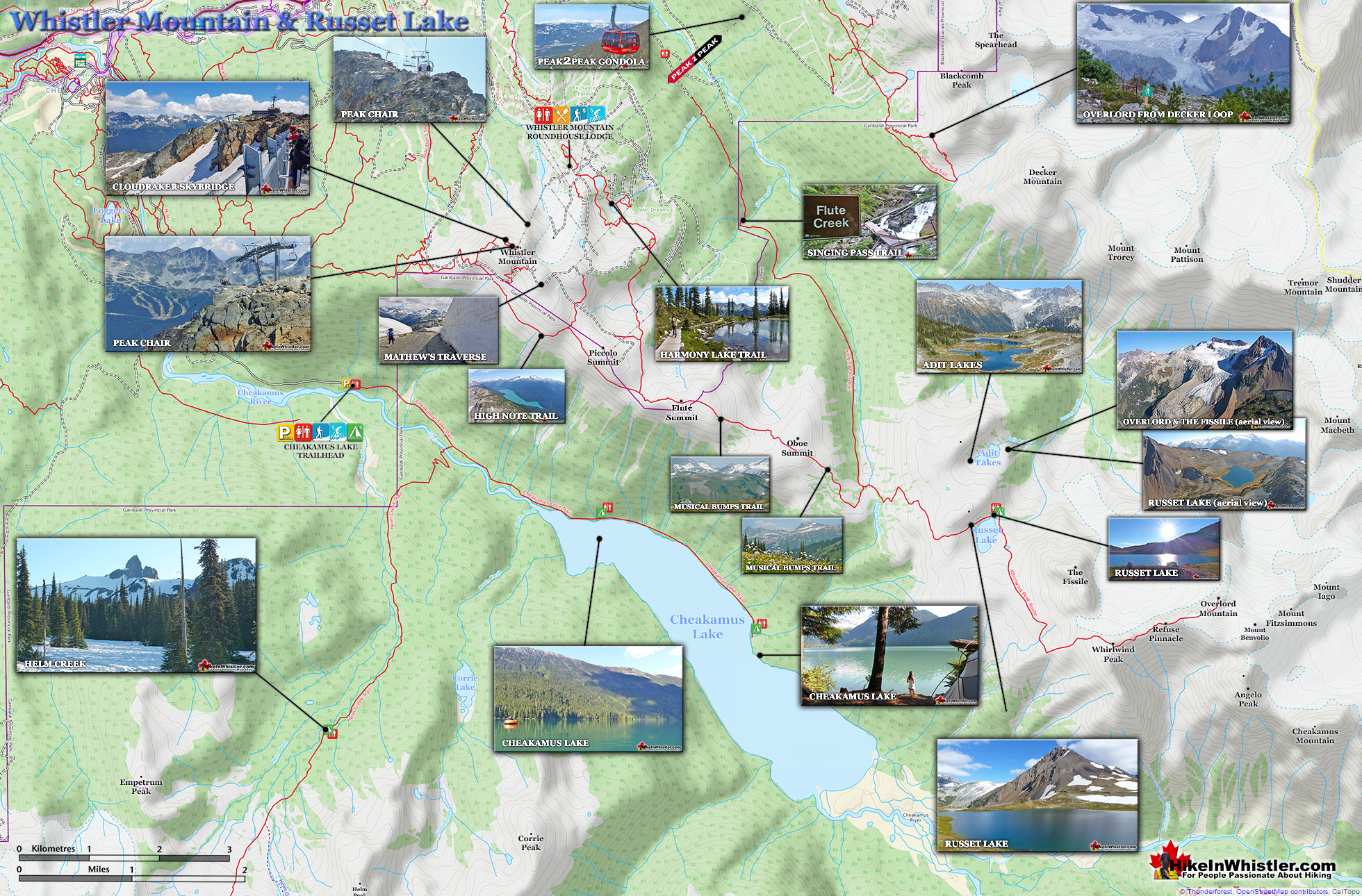
![]() The alpine hiking trails on Whistler Mountain are the ultimate in luxurious hiking. Little hiking effort gets you amazing views of turquoise lakes, snowy mountain, valleys of flowers, waterfalls and spectacular glaciers. In the summer months, Whistler Mountain is somewhat divided in two. The lower half of the mountain is for biking and the upper half is for hiking, sightseeing, trail running, eating and drinking.
The alpine hiking trails on Whistler Mountain are the ultimate in luxurious hiking. Little hiking effort gets you amazing views of turquoise lakes, snowy mountain, valleys of flowers, waterfalls and spectacular glaciers. In the summer months, Whistler Mountain is somewhat divided in two. The lower half of the mountain is for biking and the upper half is for hiking, sightseeing, trail running, eating and drinking.
 Endless beautiful trails accessible by gondola
- Great way to access Garibaldi Provincial Park
- Best vantage point over Cheakamus Lake
- Effortless sightseeing as you ride to the trails
- Great eating & drinking at the Roundhouse Lodge
- Wide range of easy to difficult hiking trails
- The Peak Chair is incredible
- Trails extend to Russet Lake in Garibaldi Park
- Peak to Peak Gondola crosses to Blackcomb
 Most other trails in Whistler are free
There are a few directions you can start hiking from the Roundhouse Lodge, however, taking the Peak Express(quad chairlift) up to the summit of Whistler Mountain is an amazing place to start. The Peak Express is an exhilarating ride that takes you to the start of Whistler Mountain's best hiking trails. The Half Note Trail, High Note Trail and Mathew's Traverse start here. The High Note Trail in turn leads to the Musical Bumps Trail to Russet Lake and Singing Pass in Garibaldi Provincial Park. The summit of Whistler Mountain is also a destination of its own. Spectacular views all around from this rocky, alpine summit visible from almost everywhere in Whistler. Black Tusk comes into view as you exit the Peak Express. This amazingly distinct pinnacle of jet-black rock is a local icon and remnant of a not too distant history of volcanism in the area. As you admire its absurdly vertical form, remind yourself that there is almost certainly a few hikers looking back at you from its summit. Looking right as you get off the Peak Express you will see an enormous inukshuk. A remnant of the 2010 Olympic Games and now a fixture in thousands of photos.
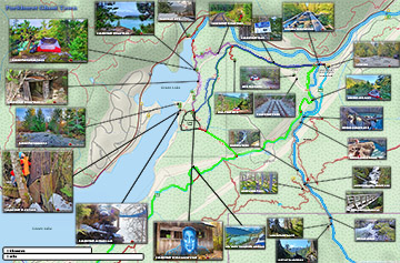
Whistler Mountain Hiking Trail Map
This beautiful stacking of huge rocks is a take-away from the Inuit tradition of marking routes in an otherwise stark landscape with a human form. The inuksuk is part of the Whistler Summit Interpretive Walk. This 1.6 kilometre(1 mile), trail takes you along an excellent route around the summit of Whistler to one amazing viewpoint after another.


High Note Trail - Whistler Mountain Maps
Branching off of the Whistler Summit Interpretive Walk you will see the High Note Trail extend toward the rocky cliffs. The High Note Trail is a beautiful trail that skirts the edge of Whistler Mountain for several kilometres before bending back around Whistler to the Roundhouse Lodge. A total of 9.4 kilometres(6 miles), the High Note Trail is a must-see trail on Whistler. For much of the trail you have Cheakamus Lake down the valley on your right. This huge lake fills the valley below with an extraordinarily vivid turquoise colour. This amazing colour caused by glacial meltwater filling the lake with suspended particles of rock which in turn reflect the light in a strikingly beautiful way.


The High Note Trail takes about 3 hours for most to hike and returns you to the Roundhouse Lodge where you began before walking down to the Peak Express and riding it up to the trailhead at the summit of Whistler. If you prefer a shorter route you can veer off from the High Note Trail, part way and take the Half Note Trail back. The Half Note Trail takes a couple kilometres off of the High Note Trail, though doesn't cut it in half as the name suggests. The Half Note Trail connects you to Pika's Traverse, which is an access road that runs from Whistler's summit down to Roundhouse Lodge. Though it is a dusty road, it still has beautiful views for most of the way.

Whistler Mountain Hiking Trails Map
![]() Most start hiking the Whistler Mountain hiking trails at the Roundhouse at the terminus of the Whistler Gondola. You can also access Whistler Mountain for free by hiking the long Singing Pass trail and then across the Musical Bumps Trail to the peak of Whistler Mountain. The Singing Pass trail is long and boring as it runs a fairly direct line in between Whistler Mountain and Blackcomb Mountain, and always in deep forest. Years ago this 11.5 kilometre trail was much more enjoyable owing to the access road and parking area 4 kilometres up the trail. A slide took a chuck of the road out and years later you will still only find a ravine that you have to negotiate before continuing up to the original trailhead. Accessing Whistler Mountain with a day or season's pass is the best option for most. You ride in style up to the Roundhouse. From the lodge you can start hiking in a few directions or take the short walk down to the Peak Chair and ride up to the summit of Whistler Mountain. A pretty amazing way to start your hike.
Most start hiking the Whistler Mountain hiking trails at the Roundhouse at the terminus of the Whistler Gondola. You can also access Whistler Mountain for free by hiking the long Singing Pass trail and then across the Musical Bumps Trail to the peak of Whistler Mountain. The Singing Pass trail is long and boring as it runs a fairly direct line in between Whistler Mountain and Blackcomb Mountain, and always in deep forest. Years ago this 11.5 kilometre trail was much more enjoyable owing to the access road and parking area 4 kilometres up the trail. A slide took a chuck of the road out and years later you will still only find a ravine that you have to negotiate before continuing up to the original trailhead. Accessing Whistler Mountain with a day or season's pass is the best option for most. You ride in style up to the Roundhouse. From the lodge you can start hiking in a few directions or take the short walk down to the Peak Chair and ride up to the summit of Whistler Mountain. A pretty amazing way to start your hike.

Hiking Trails Near Roundhouse Lodge
![]() The Spearhead Loop trail is a short, very easy, 1.2 kilometre or .7 mile loop trail that begins just past the Peak2Peak Gondola building. It descends down a gravel path to a snowmaking reservoir before looping back to where it started. The last section from the reservoir to the Peak2Peak Gondola building there are three trail junctions. The Harmony Lake Loop trail bends around the back of the reservoir and through a lovely alpine forest to Harmony Lake. Another trail junction at Harmony Lake goes left to another loop trail section of the Harmony Lake Loop trail or continues past the lake to yet another trail junction to the High Note trail and the Musical Bumps trail. Or you can take the trail to the right and follow the short, but challenging trail section of the Harmony Meadows trail back to the Spearhead Loop trail. The third Spearhead Loop trail junction, just before reaching the Peak2Peak Gondola building, is the wide gravel road hiking route, Pika’s Traverse. This long and continuously steep ascent takes you to the summit of Whistler Mountain along a very beautiful and constantly scenic route.
The Spearhead Loop trail is a short, very easy, 1.2 kilometre or .7 mile loop trail that begins just past the Peak2Peak Gondola building. It descends down a gravel path to a snowmaking reservoir before looping back to where it started. The last section from the reservoir to the Peak2Peak Gondola building there are three trail junctions. The Harmony Lake Loop trail bends around the back of the reservoir and through a lovely alpine forest to Harmony Lake. Another trail junction at Harmony Lake goes left to another loop trail section of the Harmony Lake Loop trail or continues past the lake to yet another trail junction to the High Note trail and the Musical Bumps trail. Or you can take the trail to the right and follow the short, but challenging trail section of the Harmony Meadows trail back to the Spearhead Loop trail. The third Spearhead Loop trail junction, just before reaching the Peak2Peak Gondola building, is the wide gravel road hiking route, Pika’s Traverse. This long and continuously steep ascent takes you to the summit of Whistler Mountain along a very beautiful and constantly scenic route.

More Whistler Mountain Hiking Info...
More Whistler & Garibaldi Park Hiking Maps!
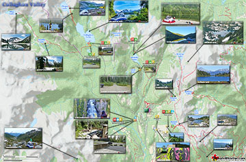
Madeley Lake Maps
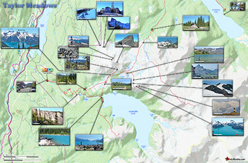
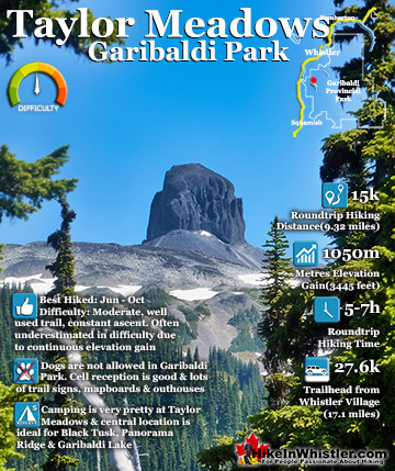
Taylor Meadows Maps
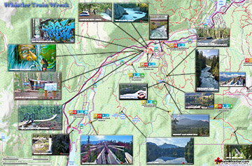
Train Wreck Maps
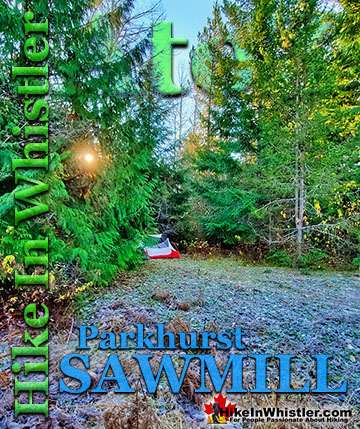
Parkhurst Ghost Town Maps

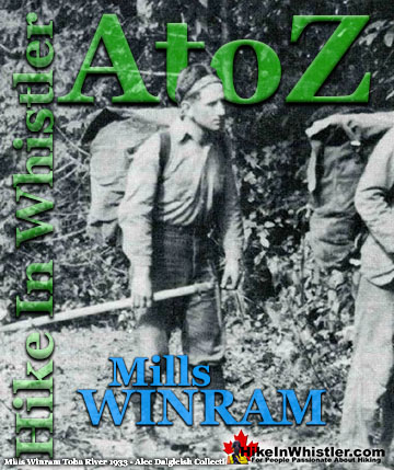
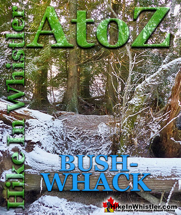
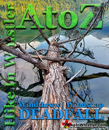
Whistler & Garibaldi Park Glossary A to Z

The Best Whistler & Garibaldi Park Hiking Trails!