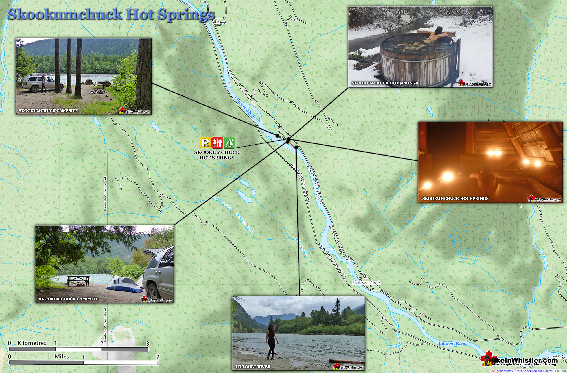
![]() Skookumchuck Hot Springs(aka T'sek Hot Springs and St. Agnes Well), located two hours north of Whistler along the edge of the huge Lillooet River. The name Skookumchuck means "strong water" in the language of the Chinook people of the Pacific Northwest. The name is associated with the hot springs because of the nearby First Nation community of Skatin, which was once called Skookumchuck.
Skookumchuck Hot Springs(aka T'sek Hot Springs and St. Agnes Well), located two hours north of Whistler along the edge of the huge Lillooet River. The name Skookumchuck means "strong water" in the language of the Chinook people of the Pacific Northwest. The name is associated with the hot springs because of the nearby First Nation community of Skatin, which was once called Skookumchuck.
 Very scenic drive along Lillooet Lake
- Stunning campsites along the river
- Sleep 1 minute away from the springs
- Drive in campsites are very convenient
- Helpful volunteer caretaker resides there
- Drive in campsites are very convenient
- Skookumchuck has an interesting history
 Rules & fees increasing with new owners
- Very busy on weekends in summer
- On first glance the tubs looks shabby
The Skookumchuck Hot Springs were also once known as St. Agnes Well during the days of the Fraser Canyon Gold Rush, but that name has fallen into disuse. They are also known locally by the Skatin name as the T'sek Hot Springs. The Skookumchuck Hot Springs start in a pool which is far to hot to use so there are a network of tubes emanating from this pool to feed a ramshackle array of tubs. There are five tubs, which include one very large one under an A-frame which could hold 10 people and is beautifully comfortable. A smaller one under a half A-frame privacy screen which could hold 8 under the stars. And three more open tubs. Clothing, you will quickly discover, is optional. There are small change rooms and one outhouse a few metres away.
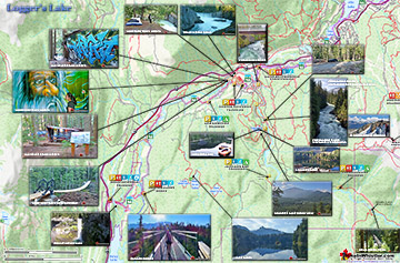
Skookumchuck Hot Springs Map
The Skookumchuck Hot Springs start in a pool which is far to hot to use so there are a network of tubes emanating from this pool to feed a ramshackle array of tubs. There are five tubs, which include one very large one under an A-frame which could hold 10 people and is beautifully comfortable. A smaller one under a half A-frame privacy screen which could hold 8 under the stars. And three more open tubs. Clothing, you will quickly discover, is optional. There are small change rooms and one outhouse a few metres away.


More Skookumchuck Hot Springs Info...
More Whistler & Garibaldi Park Hiking Maps!
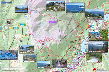
Sproatt West Maps
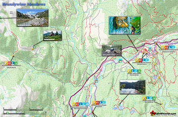
Brandywine Meadows Maps
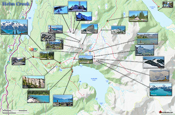
Helm Creek Maps
Logger's Lake Maps

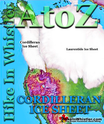
Whistler & Garibaldi Park Glossary A to Z


The Best Whistler & Garibaldi Park Hiking Trails!